
Maps & Globes
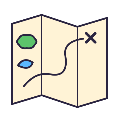
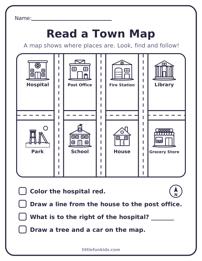
A map is a drawing of a place from above. It helps us find our way.
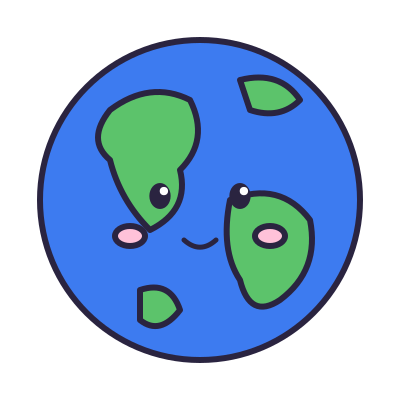
Imagine you are a bird looking down. A map shows a place from above, like a bird would see it. Maps have symbols, little pictures that stand for real things. A globe is a round model of the whole Earth!

Words to know
Tap a picture to hear it.
Did you know?
- On most maps, north is at the top.
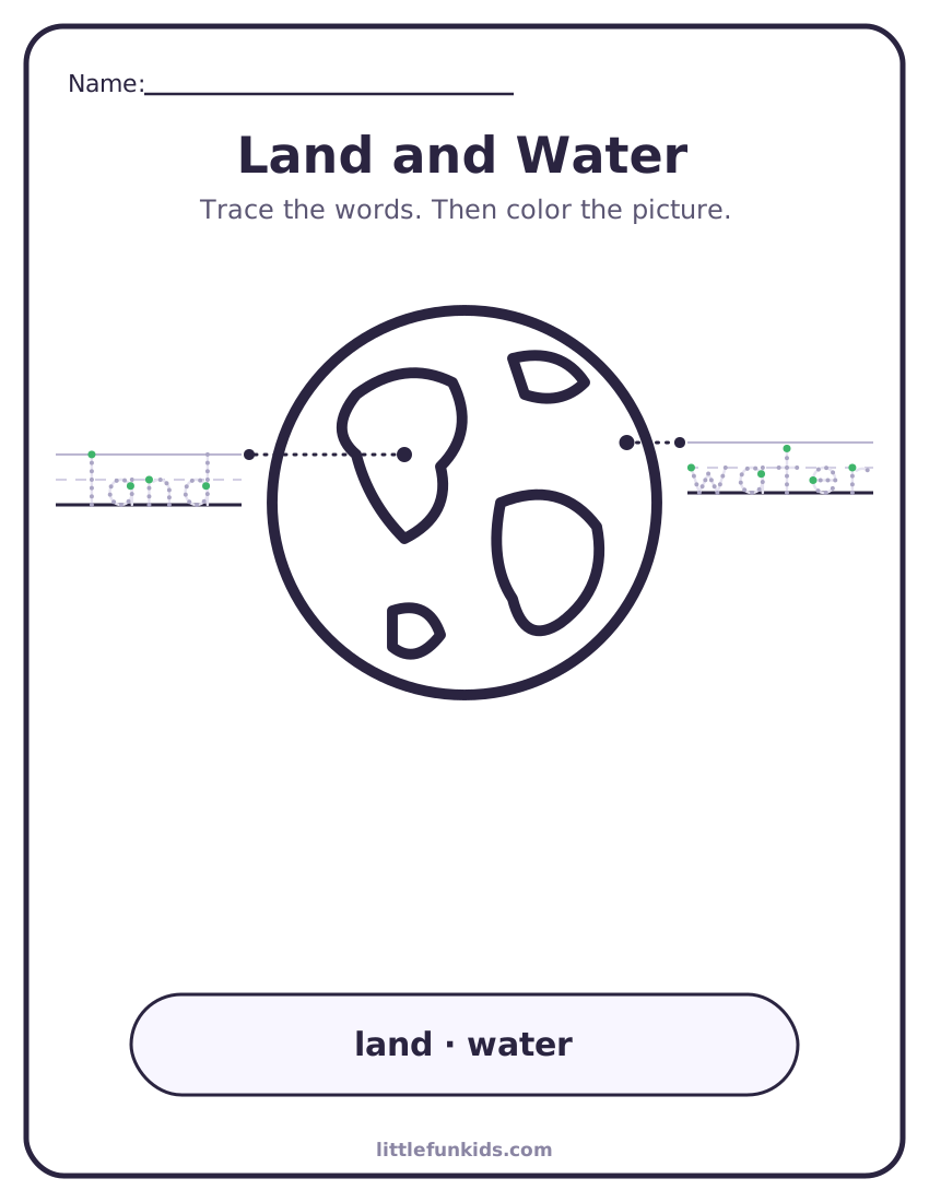
- Most of the Earth is covered with water.
- There are seven continents, the big pieces of land on Earth.
- People have been drawing maps for thousands of years.
Try it! Hands-on activities
Simple things to do together with stuff you already have.
Printables
Talk about it
Questions to ask while you read, play or walk.
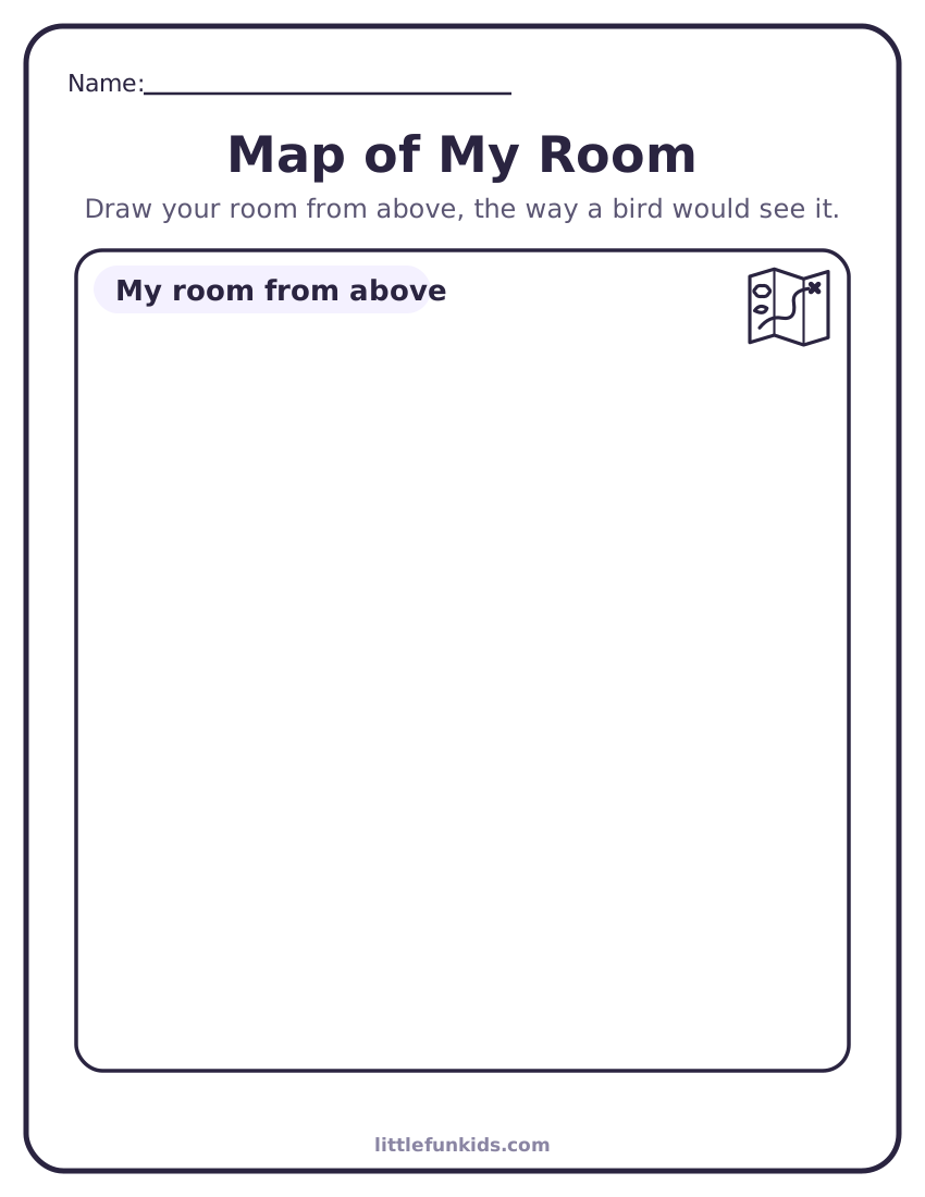
- What would a map of your bedroom show?
- Why is a globe round?
- How would you give directions from your bed to the kitchen?
For teachers
What this topic supports:
- C3 Framework D2.Geo.2.K-2: use maps and other representations to describe places
- C3 Framework D2.Geo.1.K-2: construct maps and other representations of familiar places